Our Expertise Areas
Helios Offshore specializes in comprehensive route surveys and inspections for cables and pipelines. Utilizing the latest in geophysical technology, we meticulously map and analyze seabed conditions to ensure optimal routing and the integrity of infrastructures, safeguarding against potential hazards.
Our oil and gas surveys and inspections are pivotal in identifying subsurface conditions critical for exploration and production. With precision instrumentation, we deliver detailed assessments that inform safe drilling decisions and environmental protection strategies.
We provide robust support for cable and pipeline projects throughout construction and repair phases. Our services encompass monitoring, maintenance guidance, and repair oversight, ensuring that each phase meets technical specifications and safety standards.
Environmental baseline surveys by Helios Offshore establish the ecological benchmark prior to industrial activity. We evaluate marine habitats, water quality, and biological resources, laying the groundwork for sustainable development and compliance with environmental regulations.
Our Unexploded Ordnance (UXO) surveys mitigate the risks of hazardous remnants in marine environments. Employing advanced detection techniques, we locate, identify, and advise on the safe management of UXOs, ensuring the safety of maritime operations and personnel.
HELIOS is working with seasoned experts in the field of cable route engineering and design utilizing proprietary and specialized software to design power and fiber optic cable routes, utilizing its own databases and expertise. We work with our customers and cable suppliers in order to provide efficient planning and simulation for planned cable installations.
Integrated ocean mapping encompasses multiple facets of the marine environment including the physical (high resolution bathymetry), biological, geological, chemical and archaeological to comprehensively characterize the marine environment.
Integrated ocean mapping data satisfies the critical need for:
- Detailed charts for safe navigation
- General science data
- Marine management policy
- Baseline data for marine management needs
Helios utilizes comprehensive integrated navigation systems (INS), owned or provided by clients, establishing a common base for all vessel mounted equipment and remote vessel(s). The INS allows integration with Dynamic Positioning (DP) systems, USBL arrays and deployed marine equipment (ROV, divers, geophysical & geotechnical equipment); providing offsets and corrected vessel positions in real time.
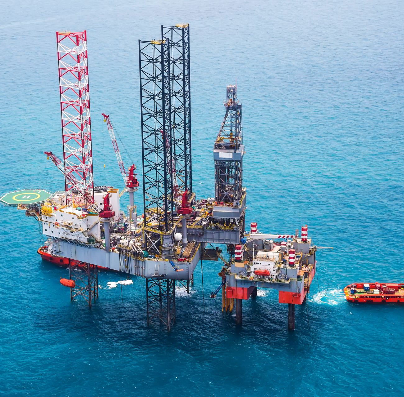
- Offshore drilling platform positioning
- Marine cable installation/repair
- RTK
- USBL arrays
- Topographic & geodetic surveys
- ROV inspection surveys